PROJECT EXPERIENCE
Bullock Surveying and Mapping, LLC has experience in various phases of surveying and mapping, including:
- Right of way acquisition and bridge replacement projects for the MS Department of Transportation (MDOT) and the Office of State Aid Road Construction.
- Bank stabilization surveying and mapping services for Corps of Engineers projects in the Vicksburg and Memphis districts;
- Right of way surveying and mapping services including plat and description preparation for MDOT to widen and relocate a portion of U.S. Highway 45, MS Power Company 500 KV transmission line, gas pipelines and AT&T fiber optic routes;
- Boundary and topographic surveying and mapping services for various architects, attorneys, banking institutions and engineering firms for private and public projects including plat and description preparation;
- ALTA/ACSM surveys for various site developments and existing commercial sites.
- Hydrographic surveying and mapping services for the Corps of Engineers and privately owned barge company for permitting and erosion control projects;
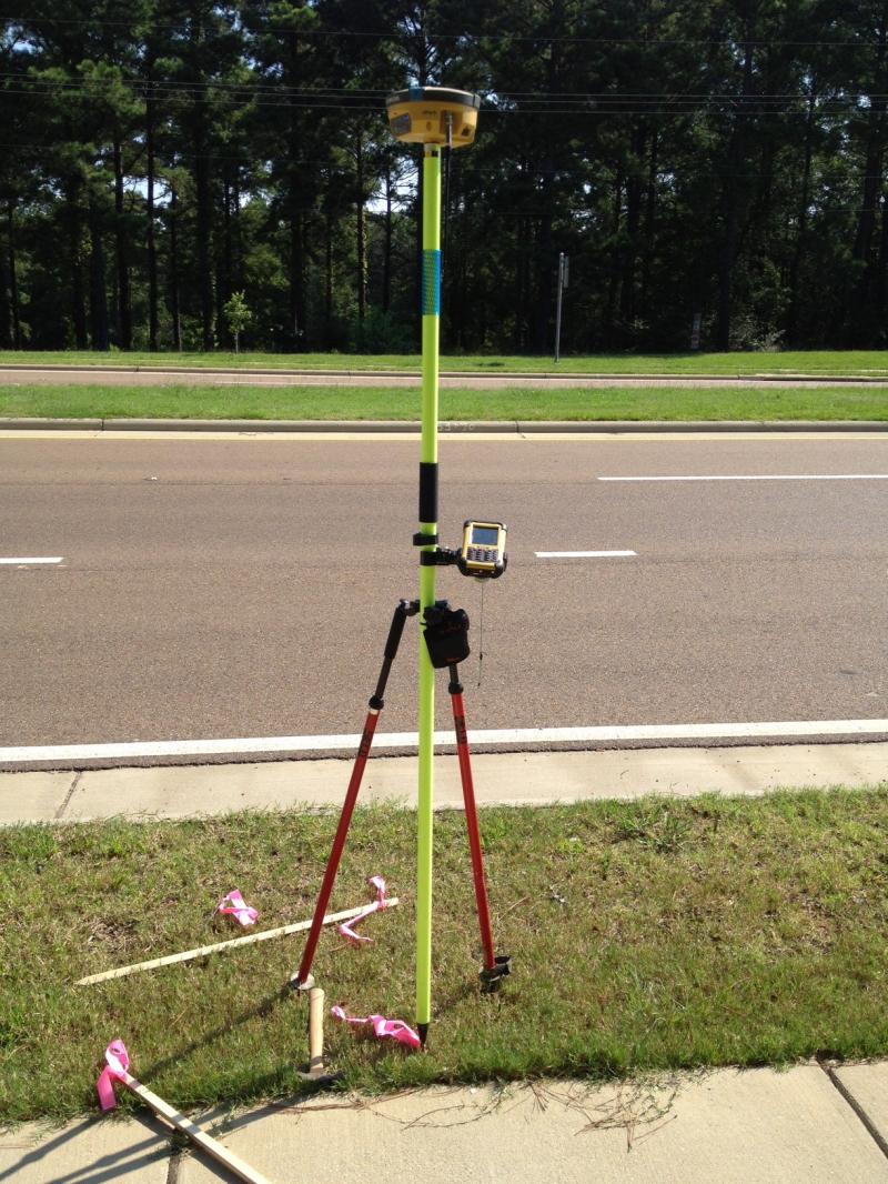
- Global Positioning System (GPS) surveys and post processing services to establish horizontal and vertical control networks along with topographic mapping referenced to State Plane Coordinate System.
 s
s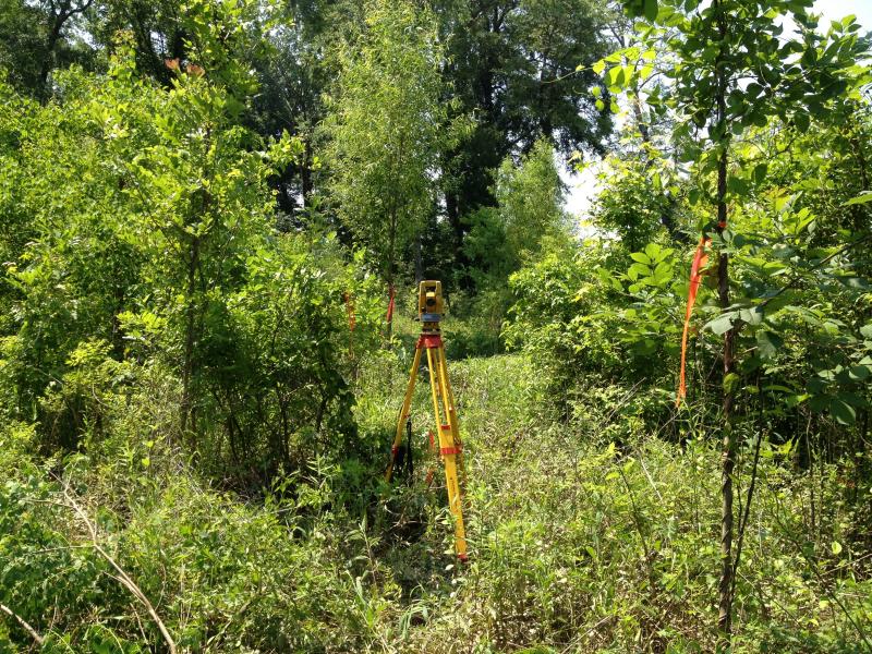 Y
Y